

Tapas Technology

MENU Tapas Technology
ENGINEERING • GIS • SURVEY
01 Home
→
02 About
→
03 Services
→
04 Contact Us
→
Discuss Your Project →
Tapas Technology
Tapas Technologies

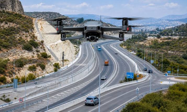
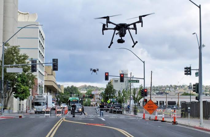
Advanced Drone
Intelligence Solutions

Data Analytics • Deep Learning • Eco Sounder • DGPS • Visual Inspection Reports

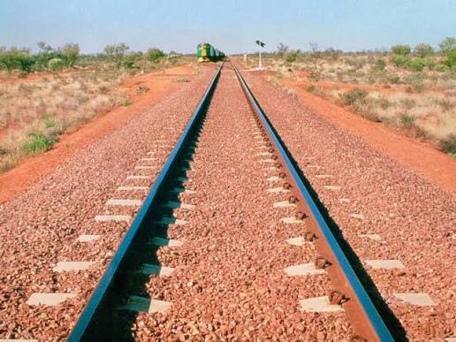
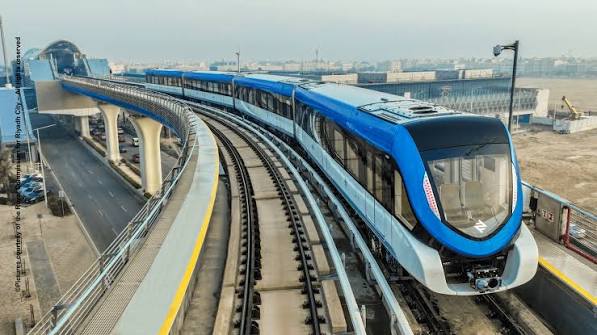
Railways and Transportation
Railways & Transportation

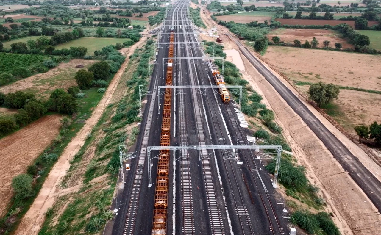
Modern Railway
Survey Solutions

FLS • DGPS Survey • Alignment Inspection • Construction Monitoring

Oil and Gas
Oil & Gas

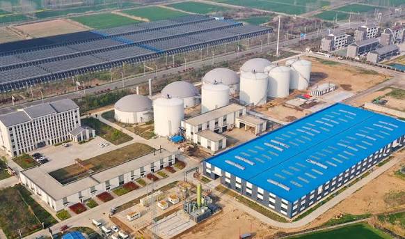
Industrial Inspection
& Mapping

Facility Mapping • Pipeline Inspection • Aerial Survey • Infrastructure Monitoring

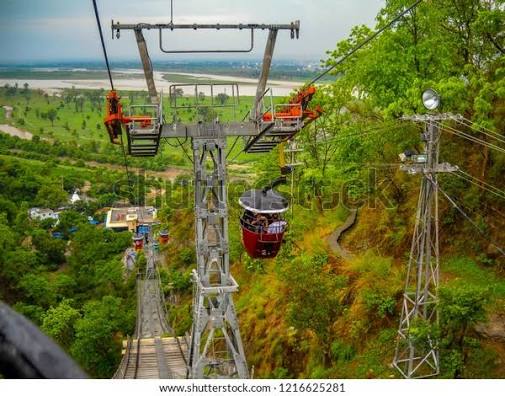
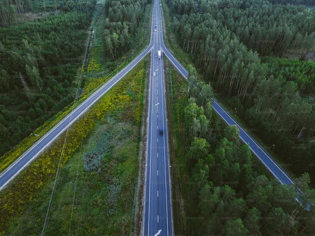
Roads and Highways
Roads • Highways • Ropeways

Engineering Better
Connections

DPR • FLS • Topographical Survey • RoW Profiling • Route Feasibility

Water Resources
Water Resources

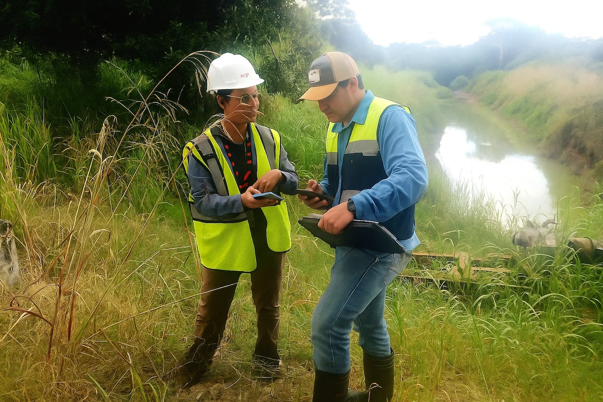
Advanced Water
Resource Surveying

Drone Survey • Bathymetric Survey • Dam Survey • River Management • Catchment Analysis

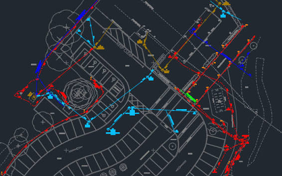
Advanced Survey Mapping
Advanced Survey & Mapping

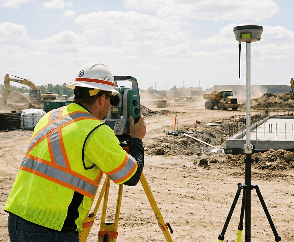
Precision Surveying
Smarter Decisions

LiDAR • Drone • DGPS • RTK • Total Station • GIS Mapping

Infrastructure
Infrastructure Development

Smart Data For
Better Infrastructure

Topographical Survey • GIS Mapping • Construction Monitoring • 3D Data

Industrial Solutions
Mining • Oil & Gas

Precision Intelligence
For Industry

3D Mapping • Stockpile Analysis • Pipeline Inspection • Facility Mapping

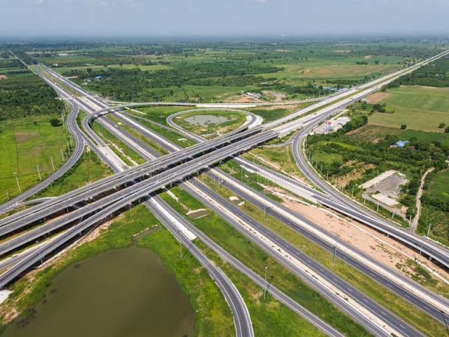
Transportation
Transportation

Mapping The Future
Of Mobility

FLS • DGPS • Alignment Inspection • Route Feasibility • Construction Monitoring

Major Projects
Successfully Completed Projects

Experience That
Delivers Results

Irrigation • Roads • Railways • Ropeways • Drone • DGPS • Bathymetric Surveys

Data Analytics ✦ Deep Learning ✦ Eco Sounder ✦ DGPS ✦ Visual / Inspection Report ✦ Data Analytics ✦ Deep Learning ✦ Eco Sounder ✦ DGPS ✦ Visual / Inspection Report ✦
WELCOME TO TAPAS TECHNOLOGIES

Engineering Innovation That Builds The Future

Tapas Technologies is a leading consultancy company headquartered in Lucknow, Uttar Pradesh. Established in 2024, we are more than just engineers

We specialize in Civil Engineering and Construction Project Management Services, including Transportation, Water, Urban & Industrial Development, Traffic Survey & Analysis, Research Studies, and Environmental & Social Impact Assessment Studies.

Our expertise includes advanced surveying using LiDAR, Drones, DGPS, RTK and Total Station. We provide accurate field data, technical analysis and comprehensive inspection reports tailored to each project's requirements.

Explore Our Services →
Precision Surveying
Precision Surveying Total Station • DGPS
Drone Survey
Drone Survey Digital Mapping
Engineering Survey
Field Assessment Engineering Studies
Civil Engineering
Civil Engineering Construction Solutions
01
2024 Established
02
LiDAR Advanced Survey
03
DGPS Precision Mapping
04
RTK Accurate Positioning
OUR PURPOSE

Vision & Mission

Driving innovation, creating sustainable solutions and building a better future through engineering excellence.

Technology Innovation and Sustainable Engineering
01
OUR VISION

Innovation That Builds a Sustainable Future

Leveraging cutting-edge technology, Tapas Technologies drives innovation and delivers sustainable solutions across diverse industries.

We strive to pioneer transformative change and exceed expectations in every field we serve. Our vision is to create smarter, sustainable and future-ready solutions through advanced engineering, technology and continuous innovation.

✓ Technology Driven
✓ Sustainable Solutions
✓ Continuous Innovation
OUR MISSION

Excellence With Integrity & Transparency

We aim to foster a more prosperous working world by providing insightful, reliable and innovative services.

Our commitment is to contribute to greater prosperity through integrity, transparency and excellence in all that we do. We focus on understanding our clients' requirements, delivering quality solutions and creating long-term value.

✓ Integrity
✓ Transparency
✓ Excellence
Engineering Team Collaboration
02
ABOUT TAPAS TECHNOLOGIES

What Do You Know About Our Company?

Tapas Technologies Private Limited is a technology-driven engineering consultancy specializing in advanced surveying, prototyping, mapping, and project support solutions.

With a strong focus on innovation and precision, we combine modern technology with engineering expertise to deliver reliable and practical solutions for diverse project requirements.

Our capabilities include LiDAR and drone-based surveys, DGPS, RTK, Total Station surveys, digital mapping, traffic surveys and analysis, research studies, and engineering project support.

Through continuous innovation, technical expertise, and a commitment to quality, Tapas Technologies works toward delivering efficient, sustainable, and future-ready solutions across different sectors.

⌁
LiDAR Advanced Surveying
◎
DGPS High Precision Data
◈
RTK Accurate Mapping
Explore Our Capabilities →
Advanced Drone Survey and Mapping Solutions
PRECISION • INNOVATION
✦
Technology Driven Surveying & Mapping Solutions
OUR EXPERTISE

Sectors & Services

Technology-driven surveying, mapping and engineering solutions designed for infrastructure, water resources, urban development and forestry projects.

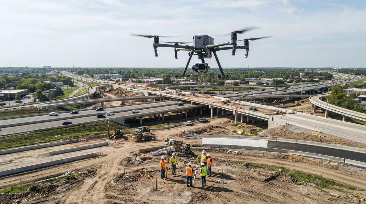
Roads Highways and Drone Survey
01
INFRASTRUCTURE

Roads, Highways & Ropeways

Advanced surveying, inspection and mapping solutions for transportation infrastructure and corridor development.

DPR FLS Survey Topographical Survey RoW Profiling Bridge Inspection Land Use Planning Construction Support Aerial Alignment Inspection Route Feasibility Survey Corridor Encroachment Survey
Explore Services →
Water Resources Bathymetric Survey
02
WATER RESOURCES

Water Resources

Precision water-resource surveying, bathymetric mapping and analysis for rivers, canals, drainage and hydraulic systems.

Catchment Area Survey Water Capacity Analysis Canal Moisture Analysis Bathymetric Survey River Water Management Riverbank Score Calculation Drainage Network Planning Topographical Survey Infrastructure Health Analysis Productivity Estimation Model
Explore Services →
Urban Planning GIS and 3D Mapping
03
URBAN DEVELOPMENT

Urban Planning & Construction

GIS, 3D modelling and infrastructure planning solutions for smarter urban development and construction projects.

GIS Survey & Mapping 3D Modeling Solid Waste Management Utility Network Planning Change Detection Drainage Network Planning Encroachment Detection Topographical Survey Land Use Planning Infrastructure Mapping
Explore Services →
Forestry Tree Mapping and Forest Survey
04
FORESTRY

Forestry & Forest Mapping

Advanced drone, GIS and mapping technologies for forest inventory, vegetation analysis and sustainable management.

Forest Topography Missing Land Identification Tree Counting & Canopy Height Open-Pit Ecosystem Studies Forest Encroachment Detection Tree Aliveness & Species Fire-Prone Area Identification Forest Fire Management Forest Density Mapping Vegetation Distribution
Explore Services →
SECTOR & SERVICES

Specialized Industry Solutions

Advanced surveying, mapping, inspection and geospatial solutions designed to support complex projects across specialized industries.

Mining stockpile drone survey
05
Mining & Quarry Survey

MINING

Advanced aerial surveying and geospatial solutions for mine-site mapping, monitoring, safety and operational planning.

  • Creating accurate 3D maps of mine sites.
  • Calculating stockpile volumes and excavation areas.
  • Monitoring pits and quarries for safety and efficiency.
  • Assisting in blast planning and impact analysis.
  • Analyzing slope stability to prevent landslides.
  • Monitoring environmental restoration and compliance.
  • Supporting real-time decision-making with dynamic data.
Mining drone mapping and infrastructure inspection
06
Mining Intelligence

MINING

Data-driven mining solutions supporting exploration, infrastructure inspection, rehabilitation and regulatory needs.

  • Identifying resource-rich zones for exploration.
  • Inspecting mine infrastructure and equipment.
  • Mapping degraded areas for rehabilitation planning.
  • Managing on-site machinery and assets.
  • Surveying water flow and retention areas.
  • Providing data for regulatory compliance.
Oil and gas pipeline drone inspection
07
Oil & Gas Inspection

OIL & GAS

High-resolution aerial inspection and mapping solutions for pipelines, facilities and oil & gas infrastructure.

  • Inspecting pipelines for leaks, corrosion, and damage.
  • Mapping oil and gas facilities with high-resolution imagery.
  • Monitoring progress for construction infrastructure projects.
  • Conducting aerial surveys for exploration and site selection.
  • Monitoring vegetation and right-of-way pipeline routes.
  • Monitoring pipeline corridors.
  • Supporting emergency response with real-time aerial data.
Archaeological site aerial mapping
08
Digital Archaeology

ARCHAEOLOGY

Advanced aerial mapping and digital documentation solutions for archaeological sites and cultural heritage preservation.

  • Creating high-resolution 2D and 3D site maps.
  • Monitoring site erosion and environmental changes.
  • Digitally documenting sites for preservation.
  • Planning excavations by identifying key areas.
  • Preserving cultural heritage through digital models.
  • Producing visual content for tourism and education.
  • Assessing disaster impacts on archaeological sites.
  • Sharing GIS data for global research collaboration.
SECTOR & SERVICES

Technology-Driven Sector Solutions

Precision surveying, aerial inspection, GIS mapping and advanced geospatial solutions for critical infrastructure, agriculture, utilities and disaster management.

Railway drone survey and inspection
01
Railway Survey

RAILWAYS

Precision surveying, corridor mapping and aerial inspection solutions for railway infrastructure and project planning.

  • Final Location survey
  • Topographical Survey
  • RoW profiling
  • Bridge inspection & monitoring
  • Land use and land planning
  • Construction Monitoring
  • Aerial Inspection of Alignment
  • Route Feasibility Survey
  • Corridor encroachment Survey
Precision agriculture drone crop monitoring
02
Precision Agriculture

AGRICULTURE

Drone-based crop monitoring and GIS solutions for precision agriculture, field analysis and productivity.

  • GIS survey and mapping.
  • Water Logging detection
  • Crop Health Monitoring
  • Yield Estimation
  • Slope Analysis
Utility power line drone inspection
03
Utility Mapping

UTILITY MAPPING

Geospatial mapping and aerial inspection solutions for utility networks, power infrastructure and critical assets.

  • Topographical survey
  • Wind Turbine Inspection
  • Power Line Inspection and Survey Report
  • Route Alignment Survey
  • GIS Mapping
  • Infrastructural Health Analysis
  • Riverbank Score Calculation
  • Bathymetric Survey
  • River Water Management
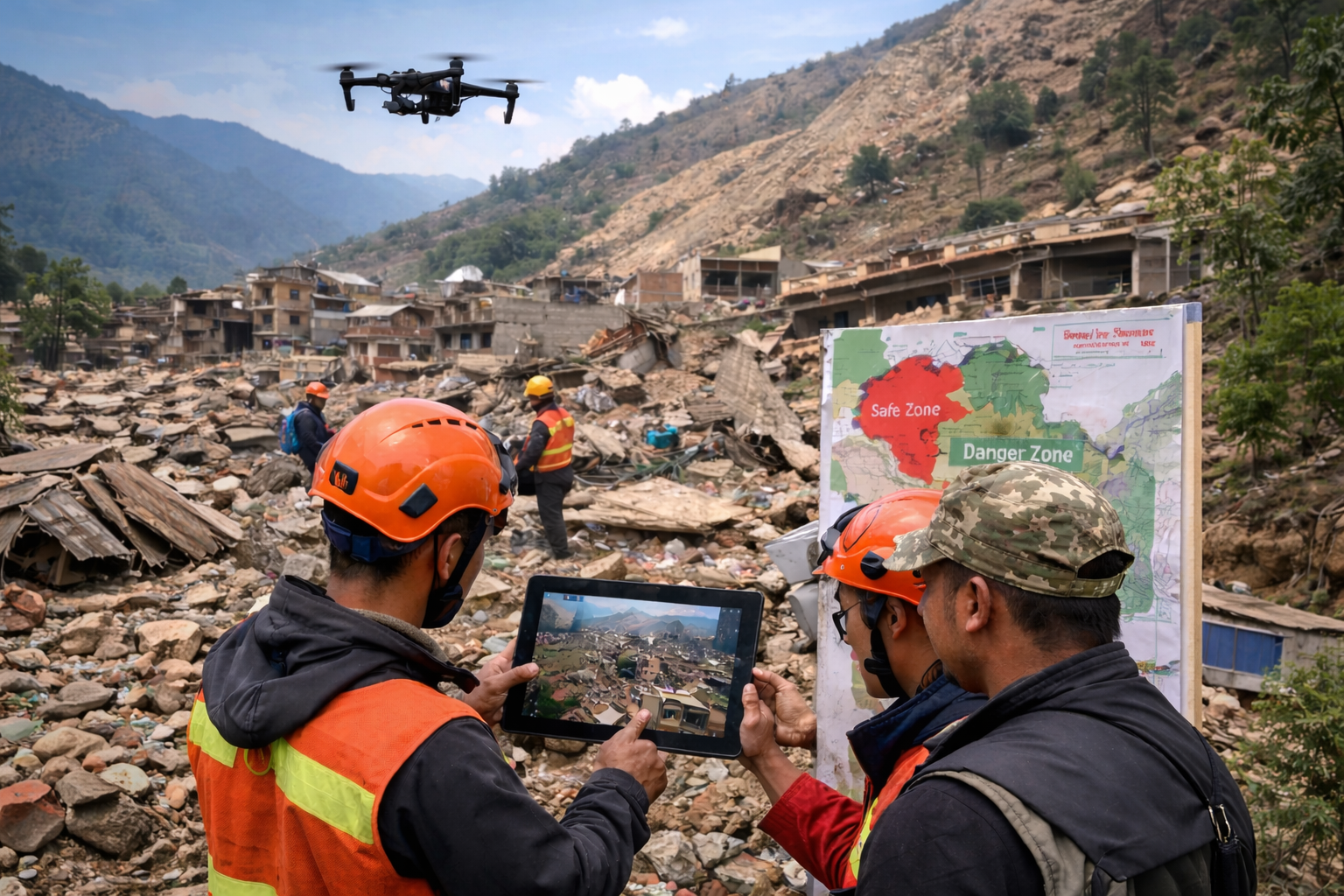
Drone assisted disaster response mapping
04
Disaster Management

DISASTER

Aerial mapping and geospatial assessment solutions for disaster response, environmental monitoring and risk analysis.

  • Forest Topography and Missing Land Identification
  • Tree Counting and tree canopy height with open pits for ecosystem studies.
  • Detecting encroachment on forest lands.
  • Tree aliveness with Species.
  • Identifying fire-prone areas and managing forest fires.
  • Mapping forest density for vegetation distribution.
OUR PROJECT PORTFOLIO

Major Projects

Delivering precision-driven engineering, surveying and infrastructure solutions across roads, ropeways and railways.

01

ROAD & HIGHWAY

Surveying and engineering solutions for major road infrastructure.

Highway Drone Survey

180 KM Itakhola & Seppa Road Arunachal Pradesh

Road Survey

166 KM Jhansi–Tikamgarh–Rewa Bypass Road

Road Mapping Survey

22 KM Tehri Road Survey

02

ROPEWAY

Engineering and DPR support for innovative ropeway infrastructure.

Varanasi Ropeway Project

Varanasi Pilot Project

Haridwar Ropeway

4.2 KM Haridwar Ropeways System

Tehri Ropeway

11 KM Tehri Ropeway DPR

Auli Ropeway

10 KM Auli Ropeway

Shimla Urban Transportation

16.1 KM Shimla Innovative Urban Transportation

Baba Balak Nath Ropeway

Baba Balak Nath Ropeway

Maa Chintpurni Ropeway

Maa Chintpurni Ropeway

Kullu Ropeway

Kullu Ropeway

Yamunotri Ropeway

Yamunotri Ropeway

03

RAILWAY

Drone, DGPS and engineering surveys for railway infrastructure.

Railway Survey

96 KM Tori-Chatra Kastha/Paraiya New Line FLS

Railway Drone Survey

22 KM Nabinagar Power Generation Plant NTPC Bulb Line

Sasaram Railway Drone Survey

11 KM Sasaram Railway Drone Survey

Railway Infrastructure

83 KM Manikpur Drone & DGPS Survey

Railway Engineering Survey

180 KM Railway Survey Project

ADVANCED TECHNOLOGY

Technology That Powers Precision

We combine advanced surveying technologies, geospatial intelligence and modern engineering tools to deliver accurate, reliable and future-ready infrastructure solutions.

01

LiDAR

High-precision laser scanning and 3D data acquisition for terrain mapping, infrastructure assessment and detailed engineering surveys.

3D MAPPING
02

Drone / UAV

High-resolution aerial surveys for large-area mapping, infrastructure inspection, project monitoring and construction progress assessment.

AERIAL SURVEY
03

DGPS

Differential GPS technology for precision positioning, cadastral surveys, control points and accurate geospatial data collection.

PRECISION MAPPING
04

RTK

Real-Time Kinematic positioning technology providing centimeter-level accuracy for surveying, alignment and engineering applications.

REAL-TIME POSITIONING
05

Total Station

Advanced electronic surveying equipment for precise distance, angle and elevation measurements in infrastructure and construction projects.

ENGINEERING SURVEY
06

GIS Mapping

Geographic Information Systems for spatial analysis, asset mapping, land management and data-driven infrastructure planning.

GEOSPATIAL INTELLIGENCE
07

Bathymetric Survey

Detailed underwater terrain and water-body surveys supporting dams, reservoirs, rivers, canals and water resource development projects.

WATER SURVEY
08

Eco Sounder

Acoustic depth measurement technology for underwater profiling, reservoir assessment, river surveys and bathymetric data collection.

DEPTH MAPPING
OUR APPROACH

Turning Field Data Into Engineering Intelligence

From aerial data acquisition to precision ground surveying and geospatial analysis, our technology-driven approach helps transform complex field information into actionable engineering insights.

Discuss Your Project →
Scroll to Top