Engineering Solutions Built For Precision
Advanced surveying, geospatial intelligence, civil engineering and project management solutions for infrastructure, transportation, water, urban and industrial development.
Complete Engineering & Surveying Services
Tapas Technologies combines engineering expertise, advanced surveying equipment and geospatial technology to provide accurate and dependable solutions.
Topographical Survey
Detailed terrain and land surveys for infrastructure, construction and development projects.
- Detailed topographic mapping
- Contour and elevation data
- Site feature mapping
- Engineering survey support
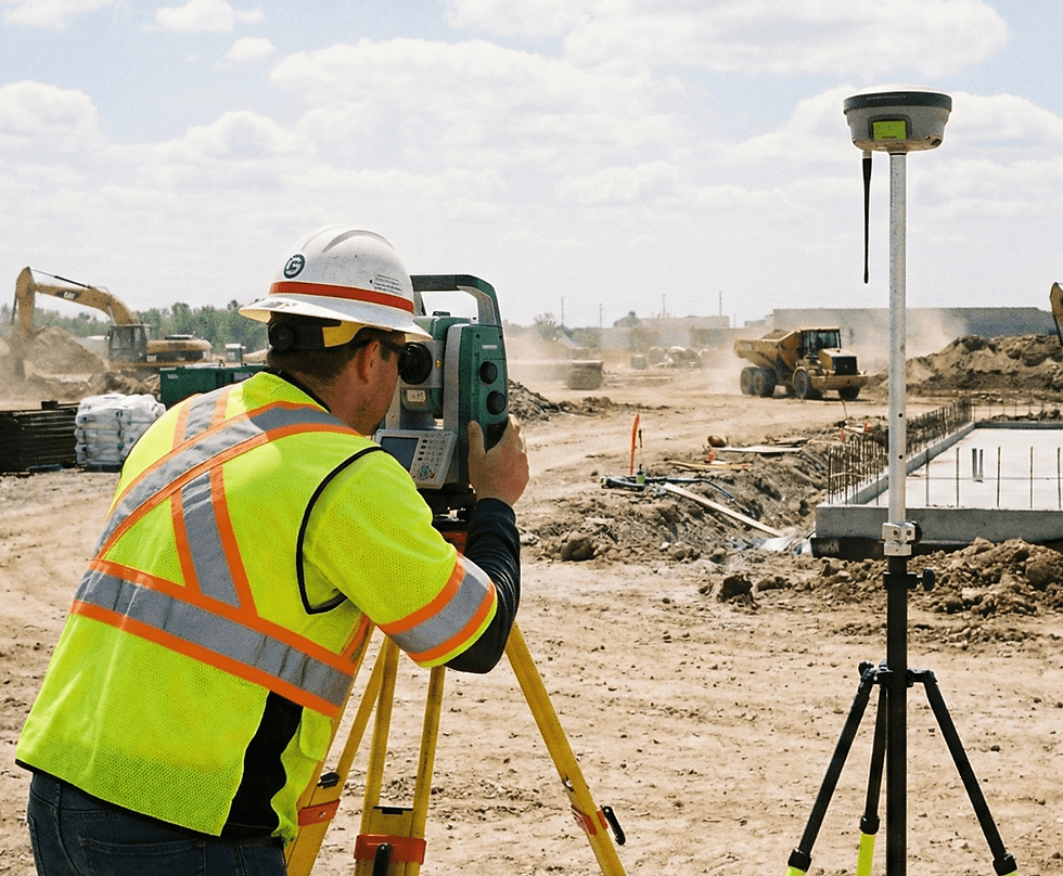
DGPS Survey & Mapping
High-precision positioning and mapping for engineering and infrastructure applications.
- Precision positioning
- Cadastral mapping
- Ground control points
- Infrastructure mapping

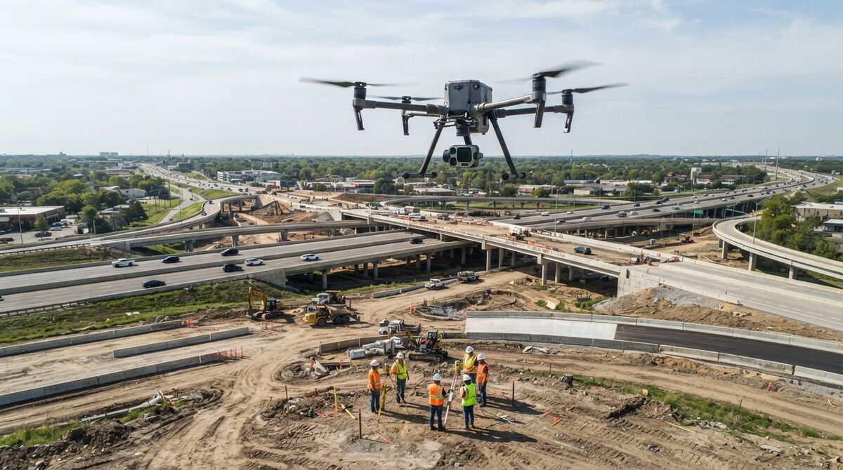
Drone / UAV Survey
High-resolution aerial data acquisition for surveying, inspection, monitoring and mapping.
- Aerial mapping
- Construction monitoring
- Corridor inspection
- Progress monitoring

GIS Mapping
Geospatial data processing and mapping for planning, analysis and decision-making.
- GIS database development
- Spatial analysis
- Digital mapping
- Infrastructure mapping

Water Resources
Surveying and engineering support for irrigation, water management and hydraulic infrastructure.
- Bathymetric survey
- Catchment area survey
- Drainage network planning
- Water capacity analysis
Roads & Highways
Surveying, alignment studies and engineering support for road and highway projects.
- FLS survey
- Route feasibility
- RoW profiling
- Bridge inspection

Ropeway & Transportation
Technical surveys and project support for ropeway and innovative urban transportation.
- Alignment survey
- Route feasibility
- DPR support
- Terrain analysis

Environmental & Social Studies
Technical studies supporting sustainable and responsible infrastructure development.
- Environmental assessment
- Social impact assessment
- Research studies
- Project impact analysis
Advanced Technology For Complex Projects
Our advanced capabilities help capture high-quality field data and convert it into accurate engineering intelligence.
LiDAR Survey
Advanced laser scanning technology for detailed terrain modelling, mapping and infrastructure assessment.
Bathymetric Survey
Detailed underwater and water-body survey solutions for dams, rivers, ponds and irrigation projects.
RTK Survey
Real-time high-precision positioning for construction, mapping and engineering surveys.
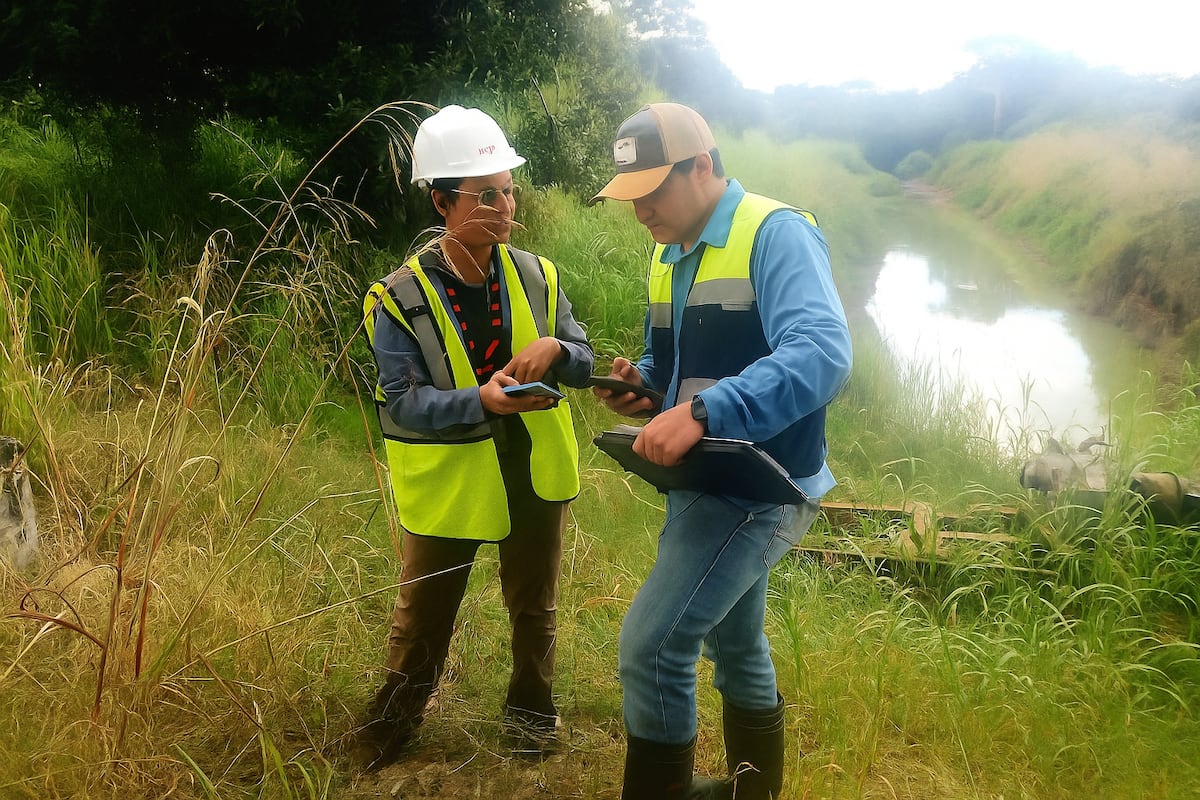
Total Station Survey
Precise terrestrial surveying for construction, topographical and infrastructure projects.
Technology-Driven Sector Solutions
Precision surveying, aerial inspection, GIS mapping and advanced geospatial solutions for critical infrastructure, agriculture, utilities and disaster management.
Railways
Final location survey, topographical survey, RoW profiling, bridge inspection, alignment inspection and construction monitoring.
Agriculture
GIS mapping, crop health monitoring, yield estimation, water logging detection and agricultural drone applications.
Utility Mapping
Power line inspection, route alignment, GIS mapping, infrastructure health and utility network analysis.
Disaster Management
Forest mapping, fire-prone area identification, vegetation analysis, encroachment detection and disaster assessment.
Mining
Mine mapping, stockpile volume calculation, pit monitoring, slope analysis and environmental restoration monitoring.
Oil & Gas
Pipeline inspection, facility mapping, construction monitoring, corridor surveys and emergency aerial support.
Archaeology
High-resolution 2D and 3D mapping, digital documentation, erosion monitoring and heritage preservation.
Forestry
Forest topography, tree counting, canopy analysis, density mapping, fire management and encroachment identification.
From Survey To Project Delivery
A structured technical workflow helps us maintain accuracy, transparency and quality throughout every project.
Project Understanding
Understanding project objectives, site conditions, requirements and technical scope.
Data Collection
Field surveys using drones, LiDAR, DGPS, RTK, Total Station and other equipment.
Data Processing
Processing field information into accurate maps, models, drawings and datasets.
Analysis
Technical analysis and interpretation to generate meaningful engineering insights.
Final Delivery
Delivery of project-ready reports, maps, models, data and engineering outputs.
Engineering With Purpose & Precision
Our multidisciplinary approach combines technology, engineering knowledge and field experience.
Advanced Technology
Modern surveying and geospatial technologies support accurate and efficient project execution.
Precision & Accuracy
Data-driven workflows help produce dependable measurements, maps and engineering outputs.
Technical Expertise
Multidisciplinary engineering capabilities support complex infrastructure requirements.
Multi-Sector Experience
Solutions are designed for transportation, water, urban, industrial and environmental projects.
Data-Driven Solutions
Field data is transformed into practical technical intelligence for better project decisions.
End-to-End Support
From initial survey and data collection to analysis and final delivery, we support the complete workflow.
Have An Engineering Project In Mind?
Let's discuss your surveying, infrastructure, geospatial or engineering requirements and build the right technical solution for your project.